
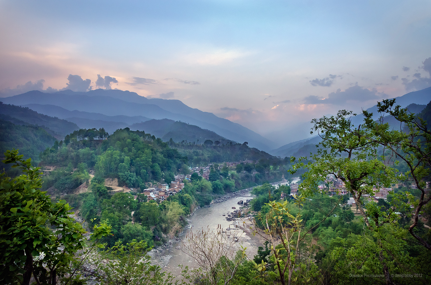
Arughat Bazar and the Budhi Gandaki river. Gorkha district.
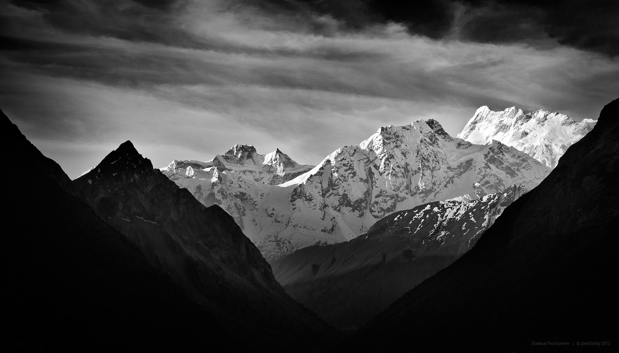
Simnang Himal (6251m) and the higher mountains at right are part of the Manaslu Himal. Manaslu Conservation Area.
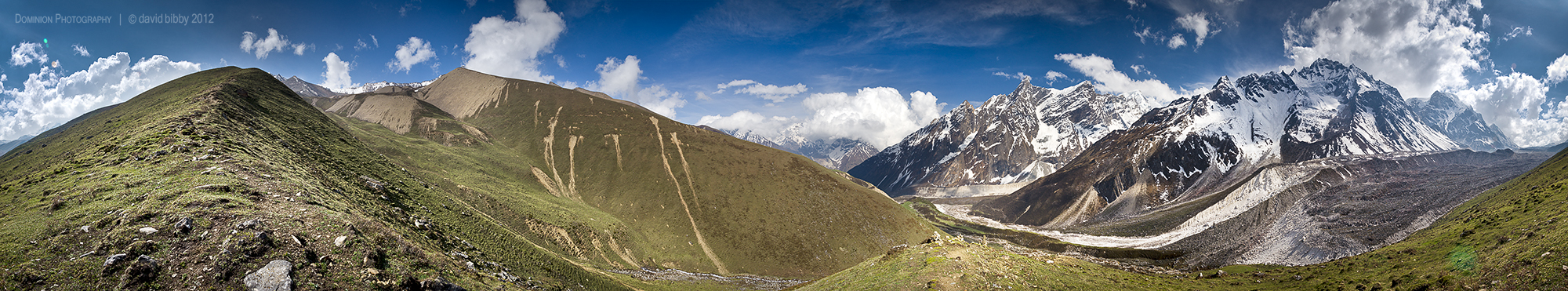
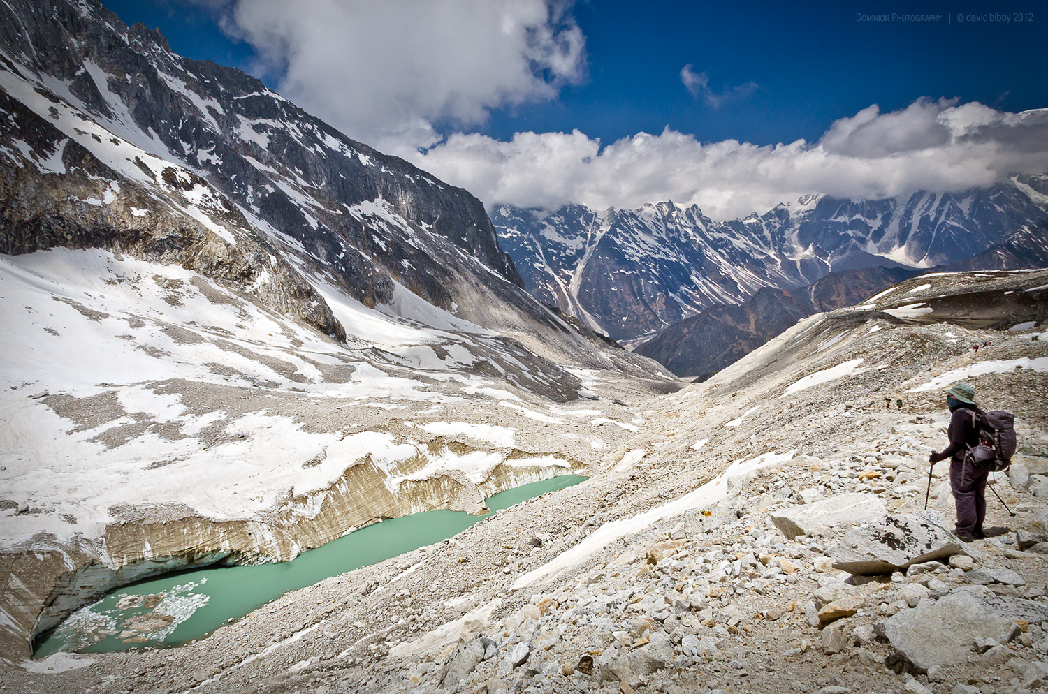
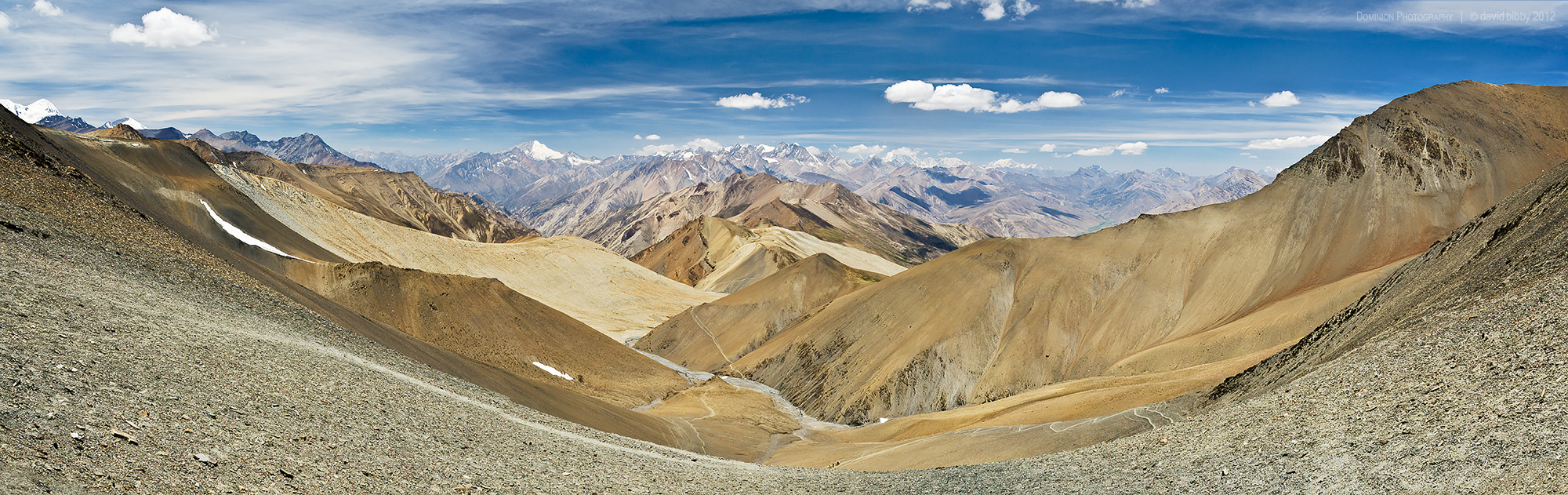
A 360 degree view below the Larkya La. Manaslu Conservation Area.
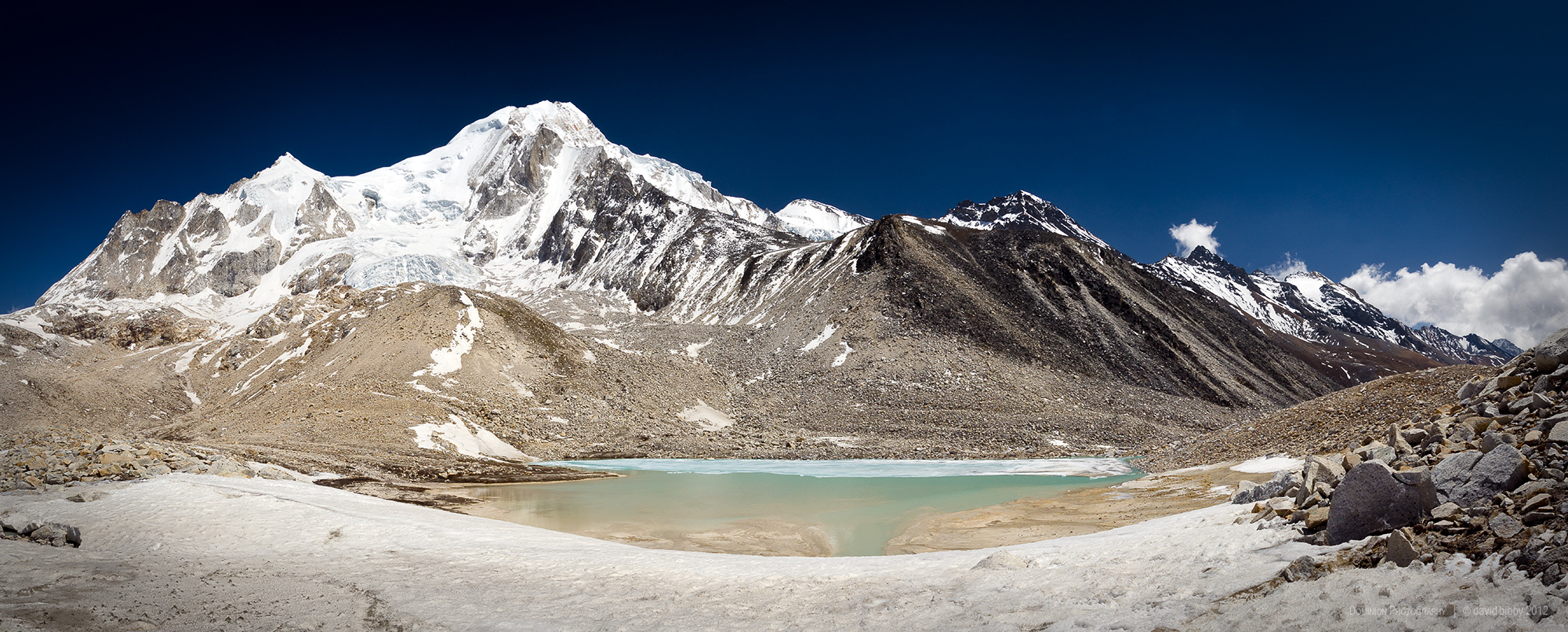
The Pawar Himal (6621m) from just below the Larkya La (5160m). Manaslu Conservation Area.
Descent from Larkya La to camp at Bimtang. Manaslu Conservation Area.
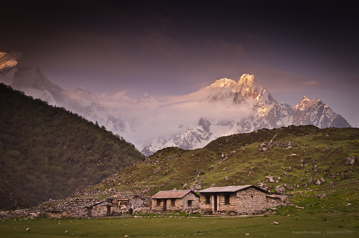
Sunrise at Bimtang. The peak in the centre of the shot is Phungi (6538m). The mountain at far left is the lower slopes of Manaslu. Manaslu Conservation Area.
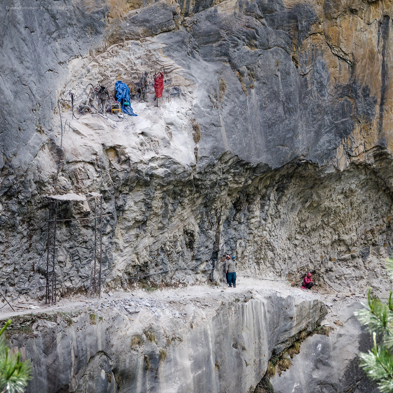
Road construction between Chame and Pisang, Annapurna Conservation Area.
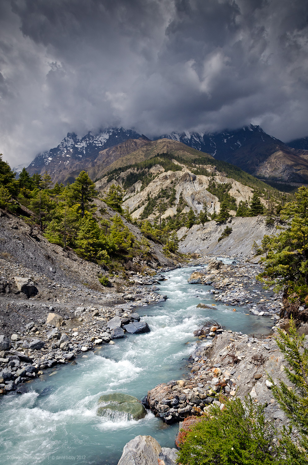
Crossing the Sabje Khola, a tributary of the Marsyangde Nadi. Annapurna Conservation Area.
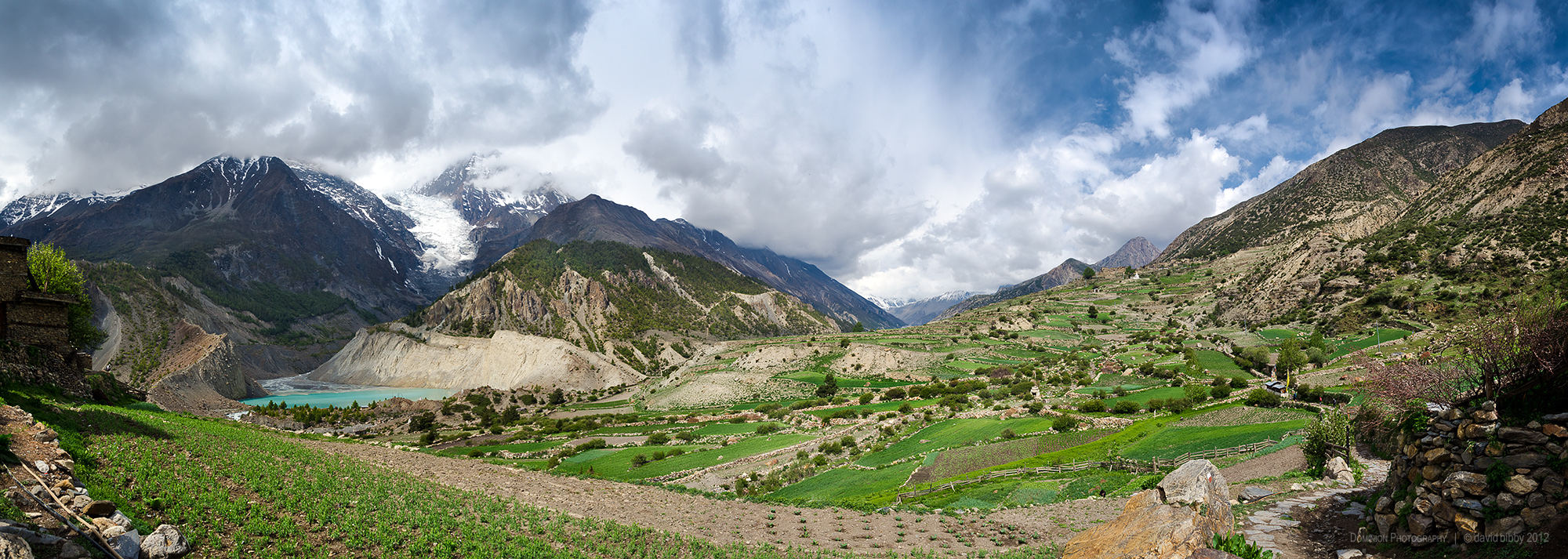
Cultivated fields on the western side of the village of Manang (3540m). The mountain peak to the right of the glacier is Ganggapurna (7454m). Annapurna Conservation Area.
Descending west from the Thorong La (5416m). Annapurna Conservation Area.
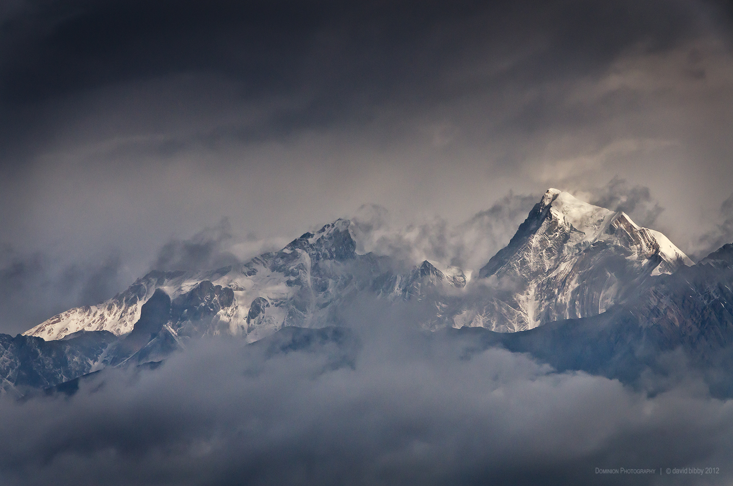
Dawn over the Sandachhe Himal. Tashi Kang (left, 6385m) and Tsartse (right, 6343m). Mustang district.
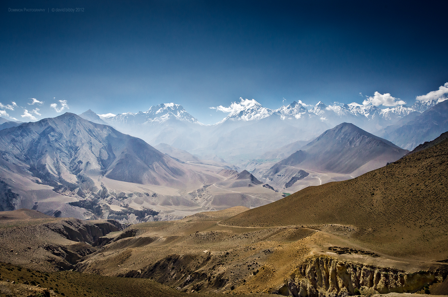
View up the Jhong Khola valley. The Thorong La is the low point on the horizon. Mustang district.

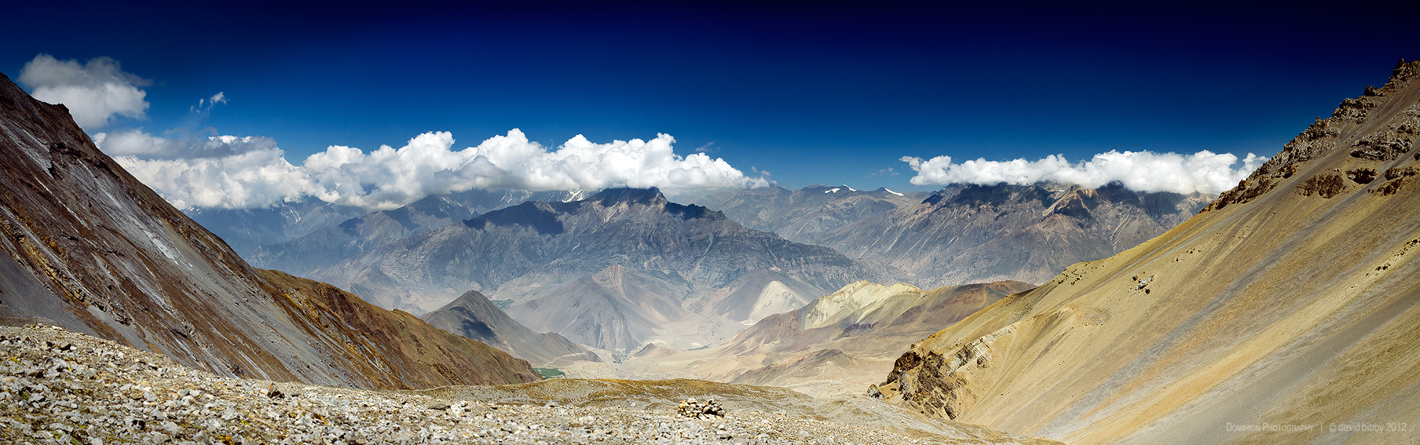
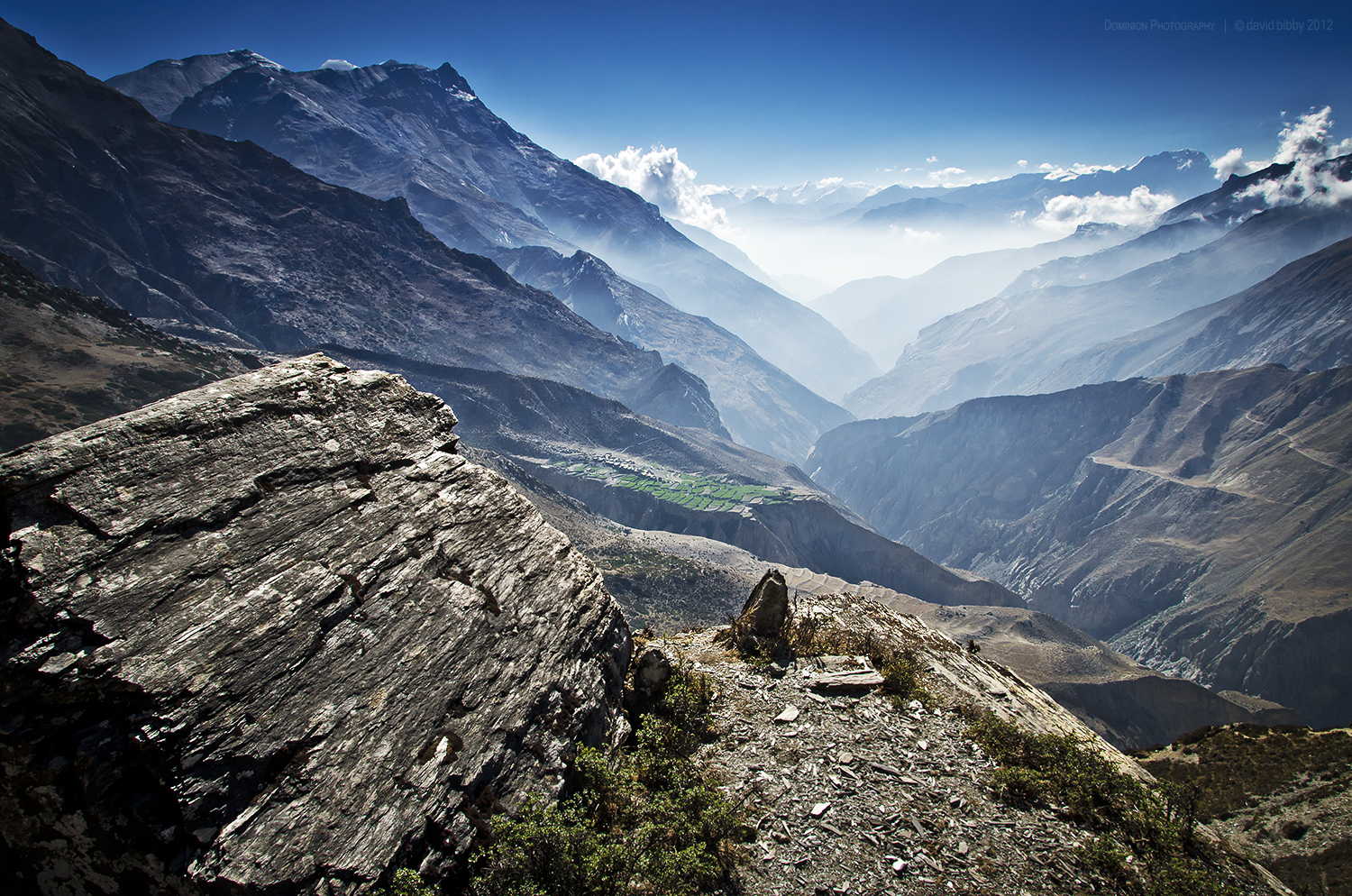
View of the Kali Gandaki Nadi valley from the Bhima Lojun La (4460m). Low point at center of horizon is Thorung La (5416m). The two highest snowy peaks are Tilicho Peak (left, 7134m) and Nilgiri (right, 7061m). Mustang district.
View east along the Kyalunpa Khola valley back towards Santa. The village in the middle ground with the terraces is Ghok. Mustang district.
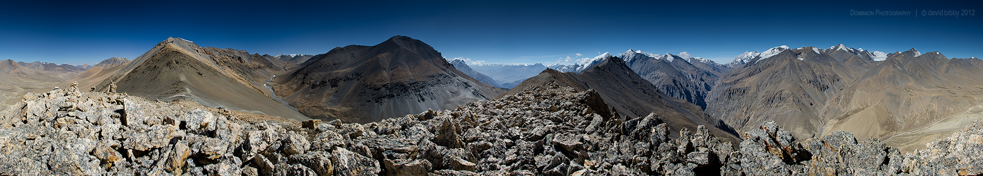
A 360 degree view from a small peak (about 5600m) above the Jungben La (5550m). Dhaulagiri Himal in the distance at right. Mustang / Dolpa districts.
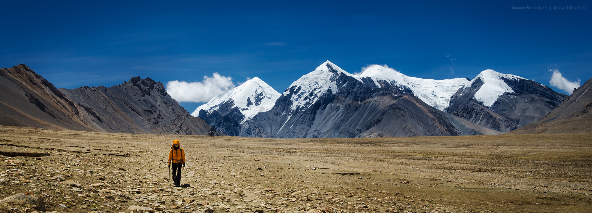
The long walk - Crossing high plains after descending from Jungben La. Dolpa district.
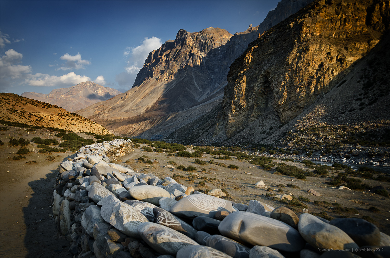
Mani wall outside Chharka Bhot. Looking east along the Chharka Khola valley. Dolpa district.
View west from the Chan La (5378m). Dolpa district.
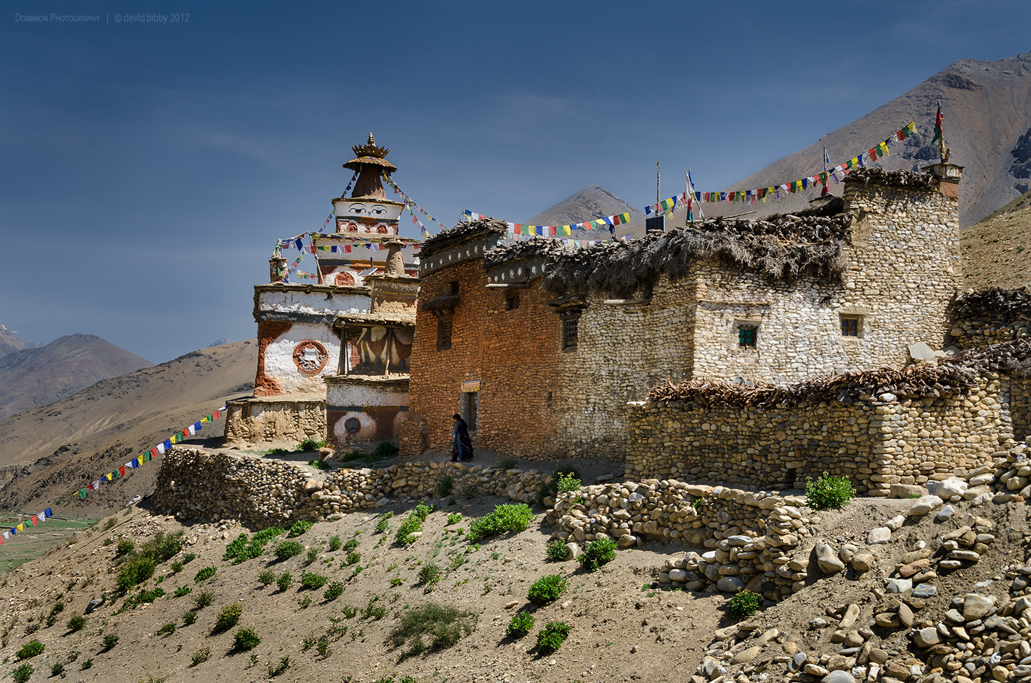
Gompa and nunnery at Dho Tarap. Dolpa district.
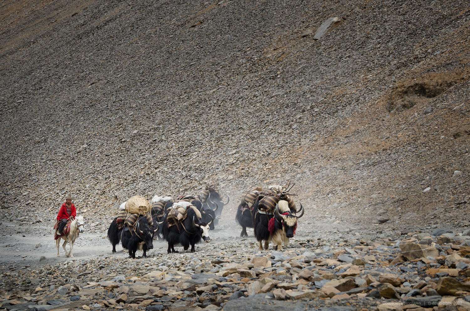
Yaks below Bagala La (5169m). Dolpa district.
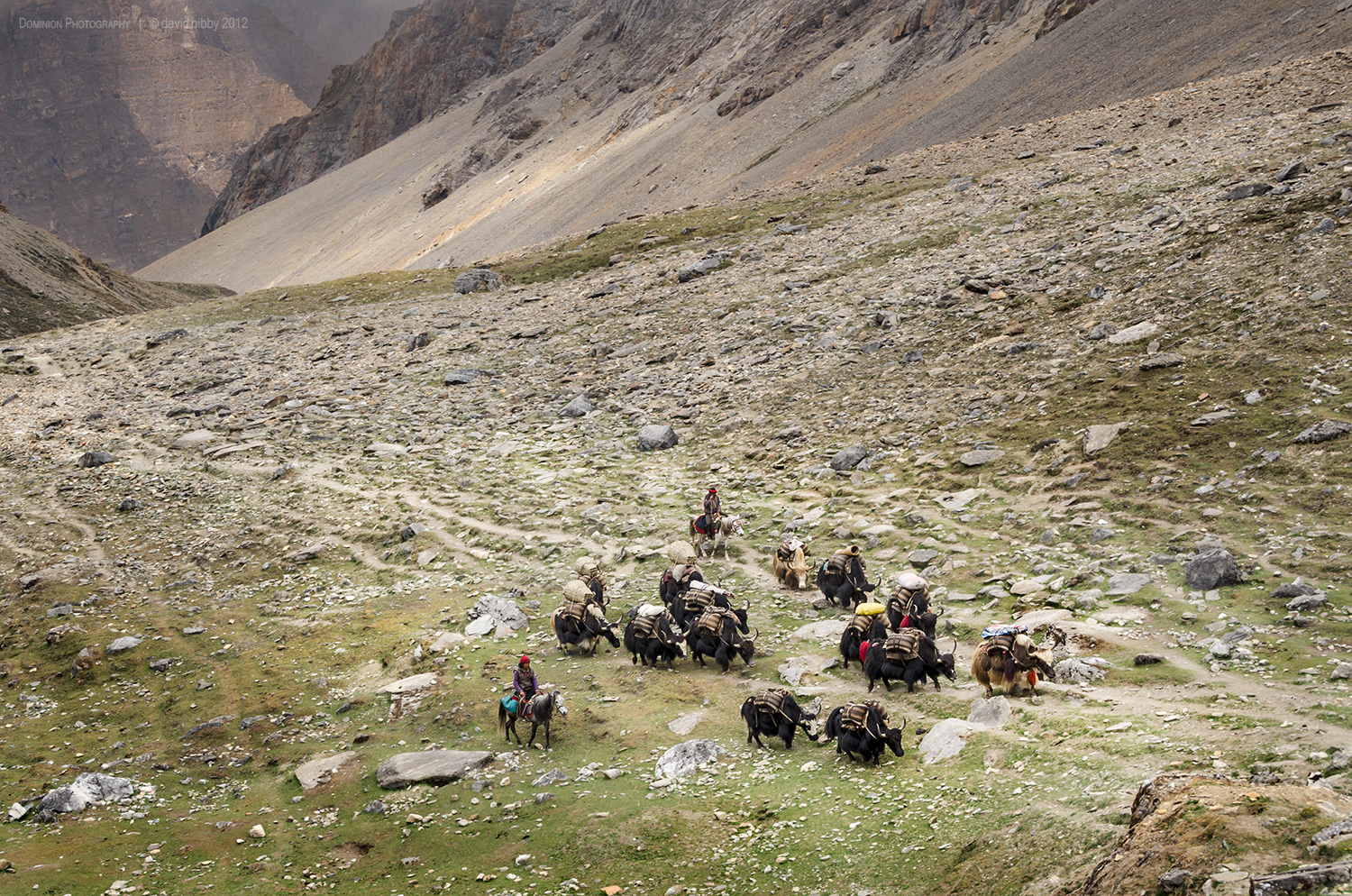
Yaks ascend towards Bagala La (5169m). Dolpa district.
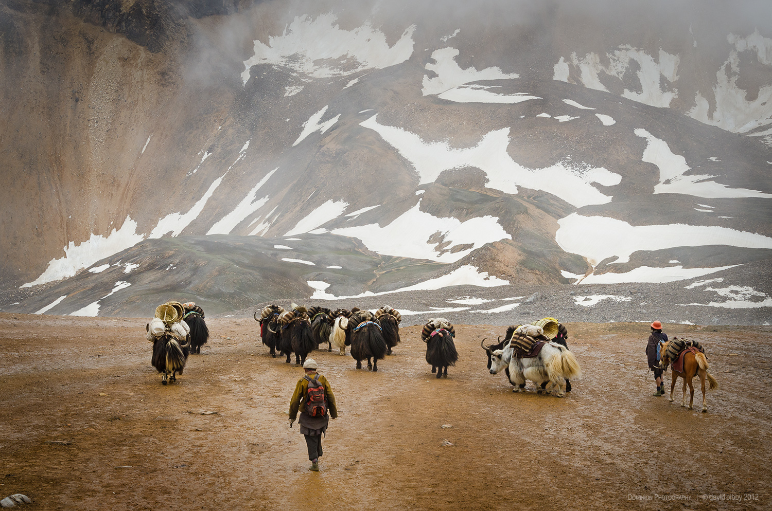
Yak herders descend after crossing the Kagmara La (5115m). Dolpa district.